Abel
Tasman
Logbook

Location
Nome Census Area, AK, USAN 64°28.8794', W 165°32.8568'
Distance13415km / 7244nm
Duration98d 16h 59m
custom markerAbel Tasman

A symbol of our warming planet

The crew of the Northwest Passage Ocean Science Expedition are flying the Climate Stripes to share a powerful message - our planet is rapidly warming. The Climate Stripes represent increasing global temperatures from 1850-2023. Each red stripe warns of our warming world. The Arctic helps regulate global climate - but it is warming 3-4x faster than the rest of the world. We need to rapidly ACCELERATE ACTION ON CLIMATE to preserve the the world’s refrigerator.

Keith Tuffley stands at the helm of the Abel Tasman, flying the climate stripes. Credit: Ramon Gonçalves, MEDIA.etcKeith Tuffley stands at the helm of the Abel Tasman, flying the climate stripes. Credit: Ramon Gonçalves, MEDIA.etc
breaker

Northern Lights (Aurora Borealis) spotted!

After the storm had passed, the crew set sail from Lady Richardson Bay with clear skies and darkness, and witnessed their first sighting of the Northern Lights as they entered Amundsen Gulf.

The Northern Lights over the Amundsen Gulf. Credit: Ramon Gonçalves, MEDIA.etc. The Northern Lights over the Amundsen Gulf. Credit: Ramon Gonçalves, MEDIA.etc.
breaker

Taking shelter from the storm

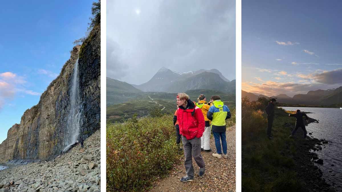
With a strong gale approaching, the crew sought shelter in Lady Richardson Bay - a very remote but beautiful place on Victoria Island, and well protected from the incoming winds. They stayed anchored there for several days, with most of the crew exploring by foot and Kester and Sylvestre exploring from above.

Left: Cameraman Ramon Gonçalves. Middle: Abel Tasman moored. Credit: Sylvestre Campe, MEDIA.etc. Right: The crew hike to gain a different viewLeft: Cameraman Ramon Gonçalves. Middle: Abel Tasman moored. Credit: Sylvestre Campe, MEDIA.etc. Right: The crew hike to gain a different view
breaker

Departing Cambridge Bay

The crew set sail from Cambridge Bay along Dease Strait, and then Dolphin and Union Strait - journeying between the North American continent and Victoria Island. They were blessed with fantastic weather, and Sebastian took out his guitar to play on deck as we sailed towards the sunset whilst Alex took eDNA samples with the NatureMetrics kit.

Alex takes eDNA samples and Seb plays his guitar as the Abel Tasman sails down Dolphin and Union Strait. Credit: Keith TuffleyAlex takes eDNA samples and Seb plays his guitar as the Abel Tasman sails down Dolphin and Union Strait. Credit: Keith Tuffley
breaker

Northwest Passage Ocean Science Expedition featured in BBC News

'In the midnight sun, slaloming through icebergs' - brothers on perilous Arctic voyage. Read the article: https://www.bbc.co.uk/news/articles/c1m0pxp13mpo

Northwest Passage Ocean Science Expedition featured in BBC NewsNorthwest Passage Ocean Science Expedition featured in BBC News
breaker

Flying over lake systems

Sylvestre and Kester both took to the skies, flying over the beautiful bay, and high enough to see the vast expanse of extensive lakes that cover Victoria Island.

Sylvestre Campe paramotors over the vast lake system on Victoria Island. Credit: Sylvestre Campe, MEDIA.etcSylvestre Campe paramotors over the vast lake system on Victoria Island. Credit: Sylvestre Campe, MEDIA.etc
breaker

Meeting the local community in Cambridge Bay, Victoria Island

The crew spent several days moored in Cambridge Bay to get some respite from the challenging navigation through sea ice (see their second zigzag route near Victoria Island on the interactive map). They will need to be fully rejuvenated before the next long leg of the expedition, around Alaska. Whilst in Cambridge Bay, they met some of the wonderful local community, including a very generous couple - Jim and Rosalyn - who invited the whole crew to their cabin outside of town. The journey (via quad bike) gave the team a chance to take in some of the rugged beauty of the tundra landscape on the island.

Left: Jim and Rosalyn with Isak. Credit: Keith Tuffley. Middle: Sylvestre and Kester fly above the couples cabin. Credit: Ramon Gonçalves, MEDIA.etc. Right: Isak and the team explore Cambridge Bay. Credit: Keith TuffleyLeft: Jim and Rosalyn with Isak. Credit: Keith Tuffley. Middle: Sylvestre and Kester fly above the couples cabin. Credit: Ramon Gonçalves, MEDIA.etc. Right: Isak and the team explore Cambridge Bay. Credit: Keith Tuffley
breaker

Setting sail to the next anchorage - Cambridge Bay

The crew set sail for Cambridge Bay through Queen Maud Gulf. Just south of the Abel Tasman’s route was the Queen Maud Gulf Bird Sanctuary - home to the largest variety of geese in North America, and the second largest Ramsar Wetland in the world. As they sailed, the crew saw many geese flying over them in v-formation.

Skipper Isak Rockström boards the Abel Tasman, ready to depart towards Cambridge Bay. Credit: Alex RockströmSkipper Isak Rockström boards the Abel Tasman, ready to depart towards Cambridge Bay. Credit: Alex Rockström
breaker

Anchored on a patch of sea ice

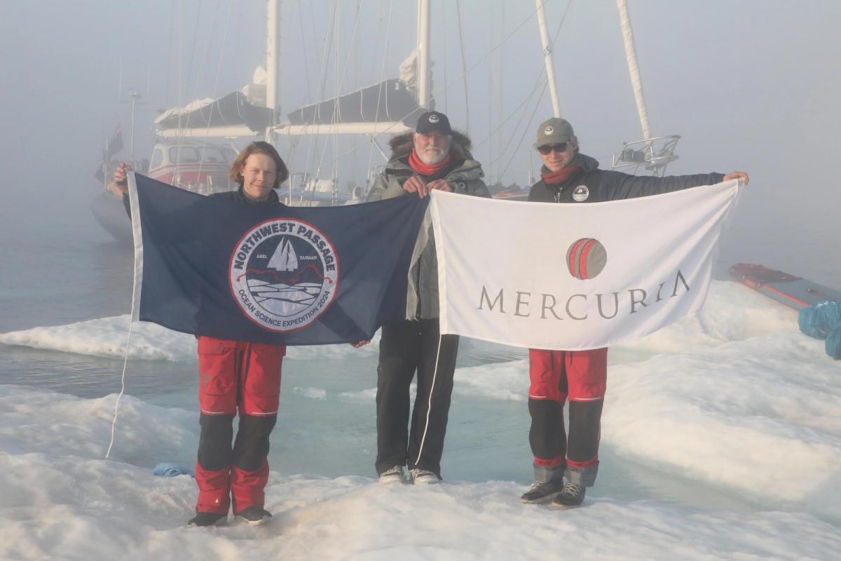
After heading East, they found a 200m patch of thick sea ice to anchor to, close to Erebus Bay. The crew spent the rest of the day exploring in the air, on the ice, and in the water. It was a very special experience for all of the crew, anchored on a small piece of sea ice in the middle of the open strait. Kester went flying with his paramotor. Cleo, Sebastian, and Sylvestre went diving in the cold waters (0.9C) and recorded the sounds of the ice with highly sensitive sound equipment. Others explored the ice, keeping their eyes open for any polar bears, and taking out their cameras to capture the beautiful scene of eerie low lying fog and the ever changing colours of a stunning Arctic sunset.

The crew explore a small patch of dense sea ice. Credits: Left & Middle - Keith Tuffley. Right - Sylvestre Campe, MEDIA.etcThe crew explore a small patch of dense sea ice. Credits: Left & Middle - Keith Tuffley. Right - Sylvestre Campe, MEDIA.etc
breaker

Slaloming through sea ice

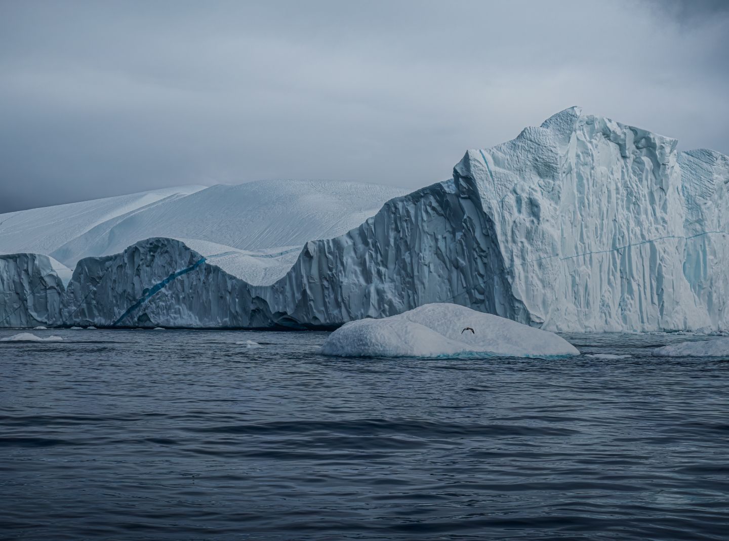
The Abel Tasman is following the route that the Erebus and Terror made on the infamous Franklin expedition in 1845-48. However with one stark difference - whilst Franklin’s crew was trying to avoid sea ice (and ultimately became stuck in it), the Abel Tasman’s crew are navigating through mostly open waters, and are actively searching for summer sea ice to document. They passed the location where the ships became stuck in ice, and where they later were abandoned 20 months later and eventually sank. The wrecks were only discovered recently, and there is ongoing exploration of them. The crew use the daily Canadian ice charts, which have colour codes indicating areas with certain thicknesses of sea ice. Although mostly open waters through their route, at times the crew had to play ‘ice-slalom’ and manoeuvre through dense ice (check out their zig-zag route on the live map) - with members of the crew ready to push pieces away from the boat with long poles.

Isak and Rakel push a piece of thick sea ice away from the Abel Tasman. Credit: Alex RockströmIsak and Rakel push a piece of thick sea ice away from the Abel Tasman. Credit: Alex Rockström
breaker